Missing the Point
When I go to a National Park Service site, I really try to get the point of the place. I’ve got to get out of the car, strap on my boots, and hit the trails. I have to get in a kayak and paddle the lakes. I have to clamber through the caves. I have to hit the vistas and the valley floors. Doing any less is missing the point. I don’t want to just go to the visitor’s center and buy a lapel pin, I don’t want to just take the scenic drive and stop at the overlooks. I don’t want to just look at stuffed animals on display. I want to feel the parks, get the sense of what they’re all about, even commune a bit with nature, as corny as that sounds. True, I don’t do hardcore wilderness backpacking (I’m too fond of hot showers and soft beds), but I still make that effort to get my boots dirty and breathe the clear air.
When it came to the City of Rocks, I blew it.
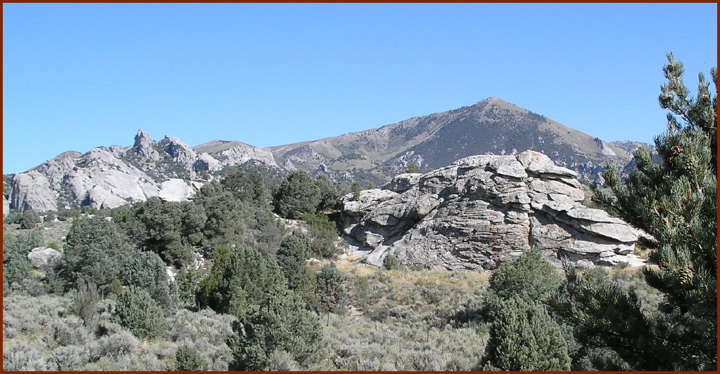
 The City of Rocks is an expanse of rock formations, eroded from ancient strata over millions of years. It’s in the high-desert region of southern Idaho, so it is hot & dry, but it’s actually a pretty cool place, very Flintstone-esque. It was a landmark on the California Trail, supposedly earning its name from comments made by the first of the westward wagon trains in 1849, but its biggest claim to fame is its status as a great place to go rock-climbing.
Rock climbing is one of those things I’ve never done. Not being particularly athletic, and having some physical limitations (namely extreme nearsightedness that even contact lenses can’t fully correct), there are a lot of things I haven’t done. Rock climbing, however, is something I should be able to do. OK, I’ll probably never scale Half Dome, but there’s really no reason I can’t do simple climbs, with a little training and some hard work.
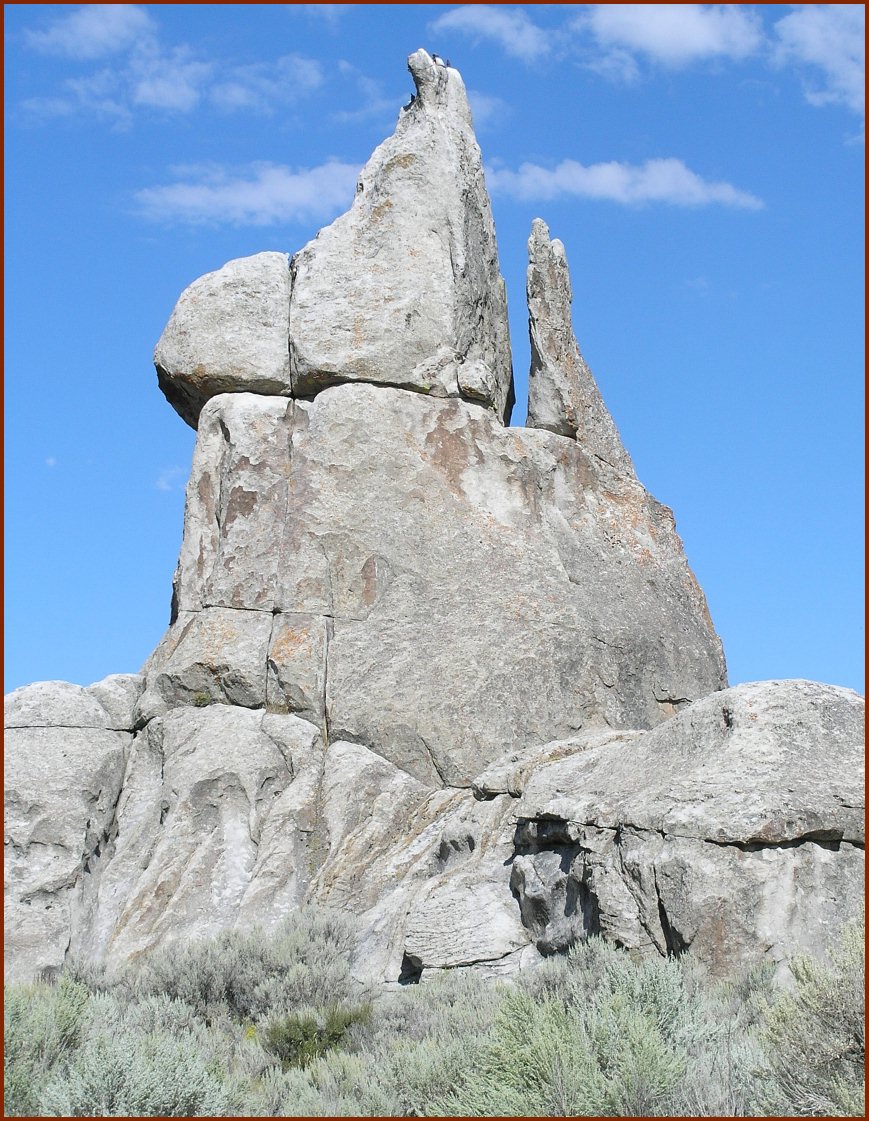 But when I went to the City of Rocks, I didn’t even think about rock climbing. I didn’t research the place at all, didn’t even know rock climbing was what CoR was all about. So, when I went, and saw all those climbers over all those rock formations, and I felt left out. It probably would have been very simple to sign up for some beginning rock climbing lessons while I was there, but alas, my pre-planning was completely absent. It was my own fault, and I had no time left to get into the groove (pun intended, I suppose).
Some time ago, I posted a comment about over-researching a park and only hitting the popular highlights. To me, that’s like only seeing blockbuster movies while missing great independent films. There are a lot of great hidden jewels in the parks that can be stumbled upon by walking the lesser-traveled paths. But City of Rocks taught me a valuable lesson: you should at least do a little reading before you go anywhere, to make sure you don’t end up missing the point.
[Photos on this post are the property of the blog owner. Please do not use without express written permission. A few more CoR pics can be found here.]
Links:
City of Rocks National Reserve
Rock Climbing at City of Rocks (notice “quantity of climbs = lifetime”)

 After less than a mile on the trail (the downhill leg no doubt), I thought I’d die.
 I think most people would have panicked. For some odd reason, I found this comforting. If my time was up, it would have been the head of that rattlesnake, not the tail, and I would be dead. I was not going to die that day, I was convinced of that. All that was left was getting my head back into the game and focus my attention on getting out of the bad situation.

 It does have some funky natural springs. There’s something exotic in the geology of the area that causes half a dozen or so natural springs of differing qualities. Some are infused with sulfur (hence the name of the nearby town of Sulphur) and are therefore highly poisonous. Others have similarly nasty high levels of arsenic, or high levels of copper, or are perfectly safe mineral springs. For amateur geologists in the audience, the place is pretty interesting for these features. The Chickasaw Nation Native Americans saw the value of these springs soon after they were relocated from Alabama & Mississippi, and preserved it for decades before deeding it to the National Park Service.
 In my opinion, one of the big problems with this country is its evolution from the United States of America to the United States of Generica. From sea to shining sea, almost without fail, you’ll see the same strip malls, the same chain restaurants, the same big box retailers. Even regional slangs & accents are starting to disappear, thanks to mass media. It’s nice in one way, you can travel across this whole country without getting into serious cultural trouble. But it has also made the country less interesting, blander, more vanilla.